Minimized Map Data Now Available Separately


I have made the minimized offline map data used by Weekend Space Command available separately from the APK. You can find it at the Github repo.
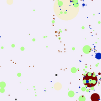
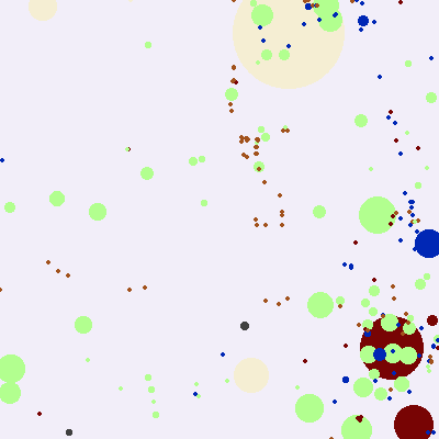
This data is fine for determining when a player is at or near a named place, or a specific type of place. It's not sufficient for determining routes between places, identifying non-gameable places, or drawing maptiles that help players orient themselves. Below is a portion of Columbus, OH drawn from minimized data. Each pixel here is about 45 feet/15 meters on a side.

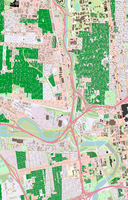
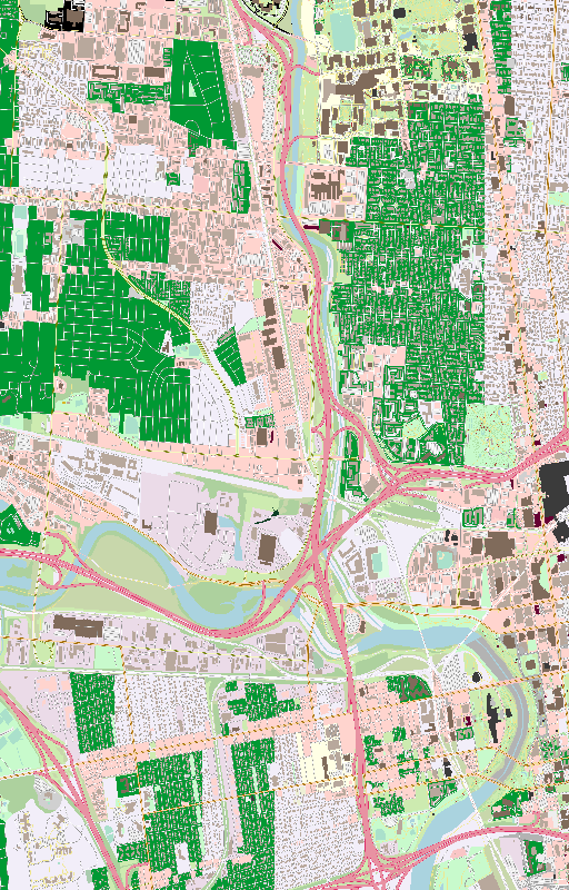
and here is the same area, drawn with full map data details, scaled to 8% zoom. At full size, each pixel is roughly 9 square feet/1 square meter.
The set of data required to make this second level of image globally is 43GB, which is a pretty big impediment to making a full copy available easily. I strongly suggest that if you needed your own set of that data, to use PraxisMapper to create a new set from up to date map data, and to limit it to your local area while developing a game.
Get Weekend Space Command (Prototype)
Weekend Space Command (Prototype)
A new kind of location based game, for Android devices.
| Status | Prototype |
| Author | Cerol |
| Tags | android, location-based, locative, No AI, offline, Open Source |
| Languages | English |
More posts
- Research Fleet:Control - Announcement and Tech PreviewOct 22, 2024
- Prototype C Now AvailableMay 31, 2024
- Prototype C DelayedMay 19, 2024
- How to compress map data by by 99.9998%Apr 19, 2024
- Release B Available!Apr 13, 2024
Leave a comment
Log in with itch.io to leave a comment.